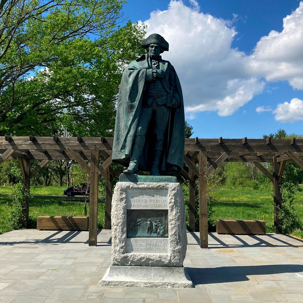
Steuben Settlement History
This page outlines the land grants and property settlements of Township #4, District of Maine, incorporated as Steuben in 1795. Specific settlement details focus on east Steuben, encompassing the current Rogers Point Road, Village Road, and Eastside Road, and do not include the early settlers of Dyer Bay, Pigeon Hill, or points north of the village center.
Settlements East of the Penobscot
During the 1700s, the Massachusetts General Court granted land in Maine to individuals or groups known as proprietors. These proprietors often received or purchased land grants that gave them the authority to establish settlements, govern land use, and distribute and sell to settlers.
“Following the defeat of France in the Seven Years War (1756-63), Massachusetts secured the former French territory stretching from the east bank of the Penobscot River to Passamaquoddy Bay. Very quickly it was surveyed in a sort of checkerboard pattern of potential townships and settlers began arriving almost willy-nilly. These were predominantly individuals desperately down on their luck, burdened with debt, poor and needy, looking for some place to begin a new life.” [Charles Joy, Founders and Followers]
Before the land grant settlements, settlers arrived in Township #4 (Steuben) in the 1760s. An outline of these families and their arrival is found here.
Lothrop Lewis Survey of 1794
After this resolve, the surveyors Lothrop Lewis completed a survey of the township in 1794, laying out the original settlement grants as stated in the General Court Resolve. This map is often called the town plan, and lot numbers provide the primary reference points for pinpointing the property’s location in recorded deeds.
Samuel Freeman, Esq. of Portland, acted as the land agent for the proprietors and issued the first set of property deeds to settlers. Interestingly, many deeds were not issued until the early 1800s but were backdated to 1794.


